
Surveying Arizona Since 1989

What We Offer
At Miller Land Surveying, we provide comprehensive surveying solutions tailored to meet the specific needs of each client and project. We work closely with property owners, developers, architects, engineers, contractors, and municipalities to ensure every project begins with accurate, reliable data and clear direction.
Our Services Include:Boundary surveys for public and private properties
Patent property surveys
ALTA/NSPS Land Title Surveys
Topographic surveys
Legal descriptions
Lot splits and lot combinations
Minor land divisions and subdivisions
Elevation certificates
Site benchmarks
NAOS mapping and perimeter staking
Construction staking for projects of all sizes
Custom home layout
Slope staking
As-built certifications
Photogrammetric control
Mining claim mapping
Easements and right-of-way dedications
Road improvements
Utility staking and mapping
Our Approach
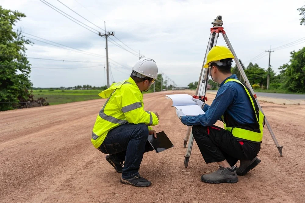
Our primary objective is to provide professional services with honesty, transparency, and integrity. We view every project as a partnership and take the time to understand your goals, timelines, and regulatory requirements before recommending solutions.

Our commitment includes:
Proactively identifying potential issues before they become costly delays
Responding to client needs efficiently and cost-effectively
Providing clear communication throughout every phase of the project
Upholding the highest standards of professional ethics
Delivering high-quality fieldwork with accuracy that exceeds industry standards
Coordinating seamlessly with design teams, contractors, and agencies
We don’t simply deliver surveys — we provide clarity, confidence, and informed guidance so you can move forward with certainty
Technology & Experience
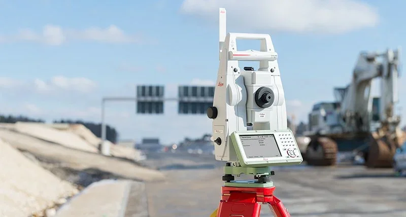
Miller Land Surveying utilizes the latest Leica surveying technology, including robotic and conventional systems, along with advanced drafting and mapping software. This allows us to deliver precise data efficiently while maintaining strict quality control.
Whether your project is small and straightforward or large and complex, our experience, technical expertise, and consultative approach ensure dependable solutions tailored specifically to your needs.
“Their attention to detail and commitment to quality truly stood out. We’ve already recommended them to others.”
– Former Customer
Let’s Work Together
If you're interested in working with us, complete the form with a few details about your project. We'll review your message and get back to you within 48 hours.